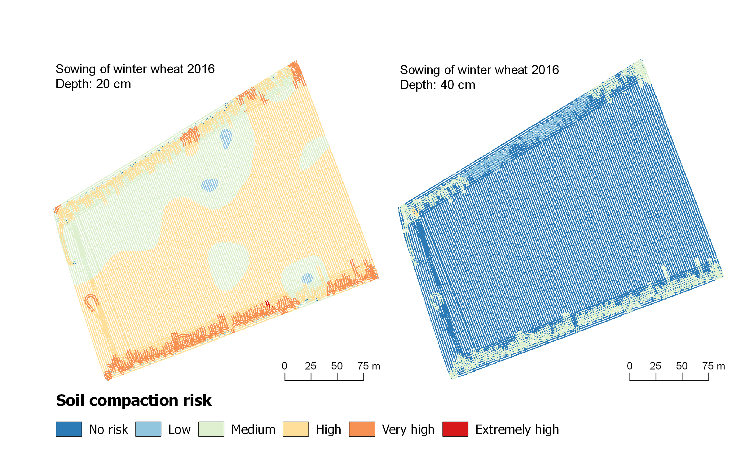
Calculation of soil compaction risk on field scale (FTIM)
To be able to spatially analyze the soil compaction risk during field traffic, the traffic intensities modeled using FiTraM and the soil properties (BIM) occurring at the time of field traffic are combined in order to subsequently calculate the soil compaction risk using SaSCiA.
The combination of these 3 models is the Field Traffic Impact Model, which for the first time allows a spatially highly resolved estimation (< 20 cm) of soil compaction risk on field scale.
Scroll to top