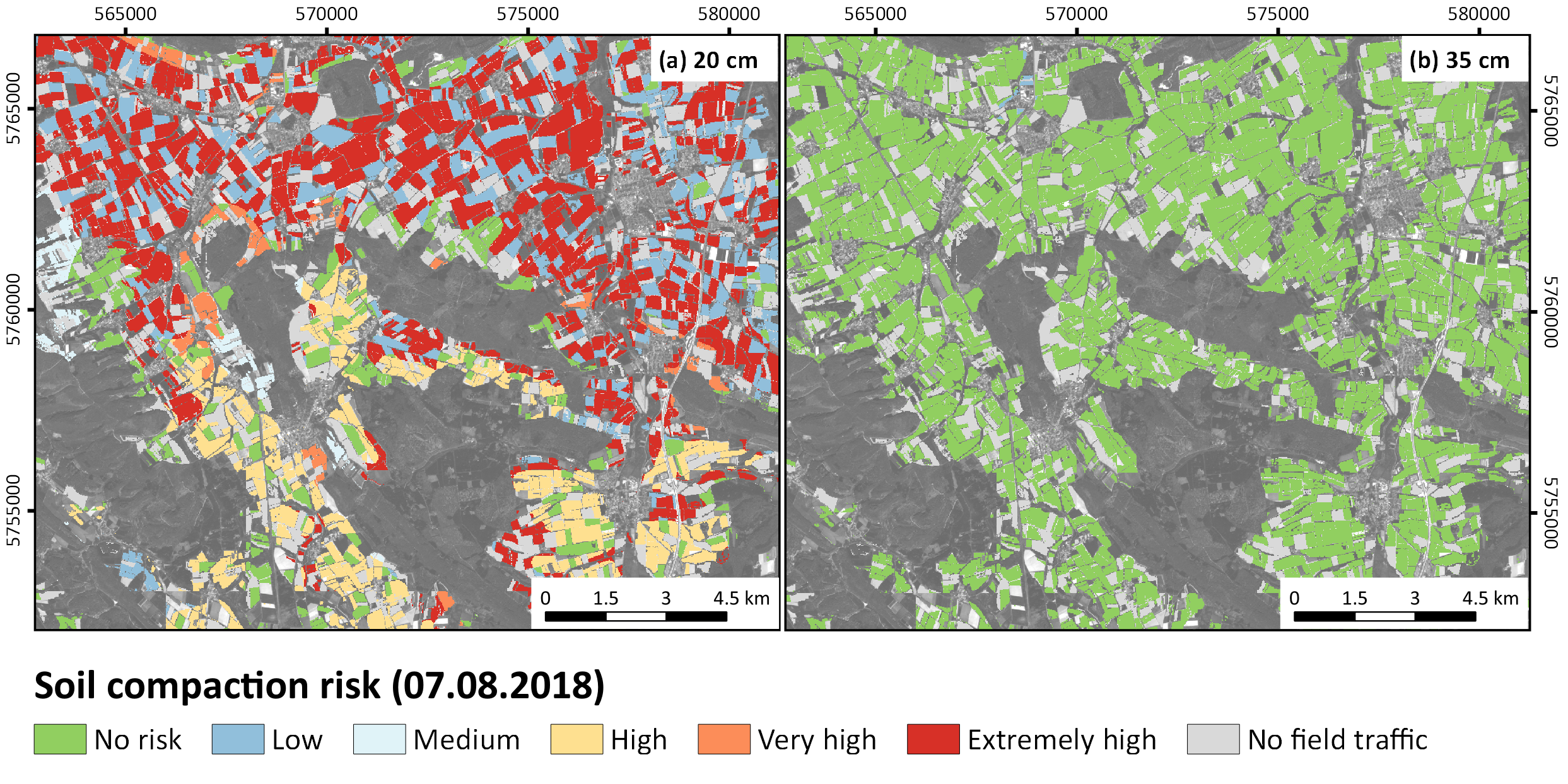
Soil compaction risk on regional scale (SaSCiA)
In SOILAssist a new approach to model soil compaction risk on a regional scale was developed (SaSCiA; Spatially explicit Soil Compaction risk Assessment).
SaSCiA produces daily maps and statistics of soil compaction risk by integrating
(i) spatial soil and crop information,
(ii) crop dependent machine information,
(iii) daily weather information,
(iv) an agricultural model for calculating the daily soil moisture content (MONICA), and
(v) different approaches to calculate of soil strength and soil load.
By integrating daily soil moisture calculations and current crops derived from satellite data (Landsat 8, Sentinel-2A), SaSCiA enables a spatially and temporally high-resolution analysis of soil compaction risk that exceeds all currently available approaches.